|
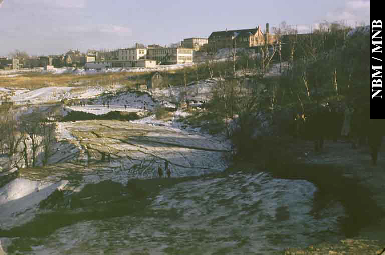
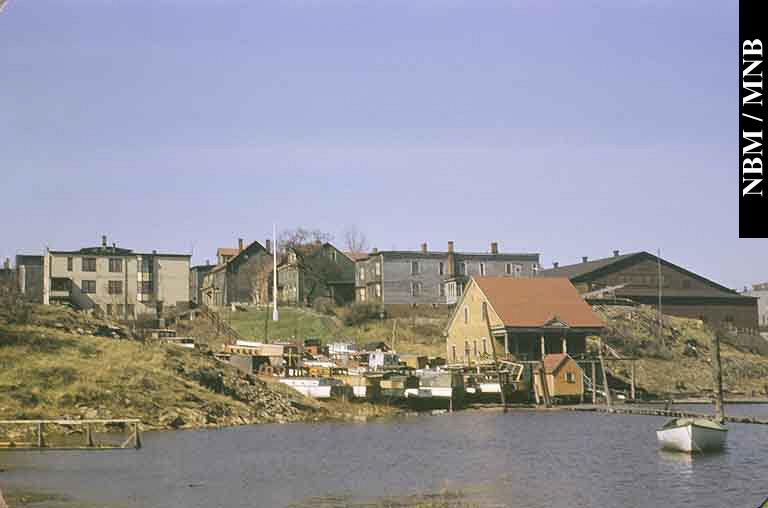
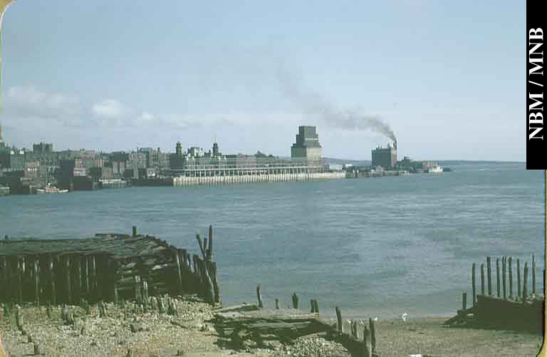
Neighbourhoods The photographs that make up this gallery are, for the most part, historic images of structures, wagons, ships, cars and landscapes. People are usually in the background, sometimes recognizable and sometimes named but mostly not. For the majority of viewers, photographs from the 1860s and 70s evoke a sort of distant mirror with an academic interest in lives lived but little emotional engagement barring access to personal correspondence. In some parts of Saint John, as in the centre of town, the whole urban infrastructure was wiped out in the Great Fire of 1877 so there is nothing to remember - everything is strange. More recent photographs and, especially those within living memory, increase the emotional impact, for we can see how buildings and methods of transportation and neighbourhoods and ourselves have changed with time.
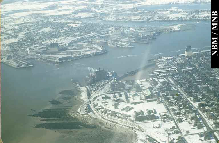
The places covered in this section of the exhibit are the points on the compass - north, east, south, west as well as the harbour front of the city. The greater part of the visuals were taken before the suburban expansion of the 1960s and 70s, so we return to times before when those points on the compass meant very distinct parts of town. For much of the period covered from about 1865, Saint John is a walking city. The advent of horse pulled and then electric street cars didn't change the local nature of work for everyone: it just increased opportunity and convenience. Better bridges such as the new Reversing Falls bridge (1914) and the harbour ferry from the west side to downtown did the same thing. Yet, for the most part, the neighbourhood provided the basic necessities for those who lived there - shopping, entertainment, food service, so people stayed close to home.
Loyalty to a particular neighbourhood became a Saint John trait, to a certain extent still endures and remains, in some cases, irrespective of income level. It amazes visitors to the city, who expect to find homogeneous surroundings, to find instead a variegated neighbourhood in one section or even one block of town. All this despite the leveling of the old east side and a part of the north end through the urban renewal projects of the 1960s and 70s. At the same time the relative prosperity for two generations of Saint Johners meant the decline of the old neighbourhoods and the increase of the suburban lifestyle.
|
|