Welcome
Saint John has played a significant role in the economic, cultural, and environmental history of New Brunswick and Canada. In the nineteenth century, the city exerted considerable economic influence over an economic hinterland extending throughout New Brunswick, across the Bay of Fundy and around the Gulf of Saint Lawrence. Shipbuilding. timber and trade dominated the regional economy. Saint John merchants controlled much of this trade from its well-protected ice-free harbour, and their interests extended from the Bay of Fundy to Liverpool and the Boston States.
Although identified as Canada's oldest incorporated city (1785), the city's contemporary urban structure owes a considerable legacy to the industrial age. Following a disastrous fire in 1877, the waterfront and central business district were redeveloped. The urban residential and commercial structure was altered by the vigorous rebuilding of a large portion of the downtown which resulted in one of the best, contiguous collections of Victorian architecture in Canada. In 1893, an electric streetcar system replaced a horse-drawn street railway, and promoted the expansion of suburbs in the western fringe of the city.
The First and Second World Wars stimulated Saint Johns economic and demographic base. The shipbuilding industry was rejuvenated in these eras, and many Saint John companies engaged in the production of goods for the war effort. Following World War II, a variety of large-scale industrial enterprises emerged as the backbone of the Citys economy: pulp mills, a sugar refinery, an oil refinery, and shipbuilding facilities.
Among the most noteworthy urban changes in the post-war era were housing developments in the Citys north end, and an extensive post-War urban renewal programme. These significantly altered the face of several of the Citys neighbourhoods. An ambitious master plan for the City was designed in 1946 (Merrett Report) that outlined new suburban neighbourhoods in the outskirts of the City, and proposed areas for redevelopment. Several surrounding villages were later amalgamated with the City of Saint John (in 1967), creating the largest city, by area, in Atlantic Canada. Since then, suburban expansion has continued well beyond these municipal boundaries to the east and west of the City (into the surrounding municipalities of Rothesay, Quispamsis, and Grand Bay-Westfield). A high-speed highway divided Saint John's north end from the downtown core and permitted more widespread commuting from more distant rural villages and hamlets as far afield as the Kingston Peninsula and Hampton (to the northeast) and St. George (to the southwest).
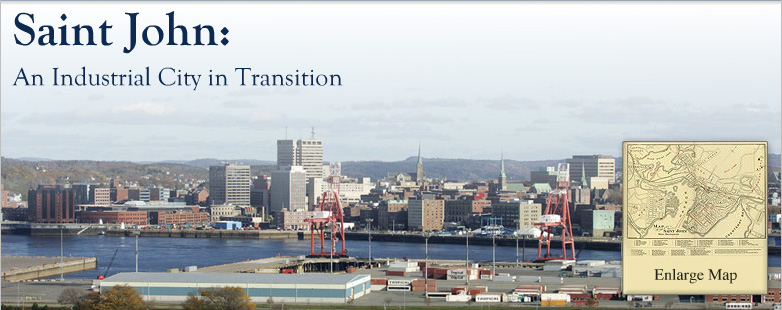
The images in this exhibit try to capture some of the character of Saint John in its transition from the nineteenth century to the present. This collection of approximately 1,100 visual images and archival documents provides a dynamic view of the changes in transportation, industry, technology, art and architecture that occurred. The eight galleries are thematically organized around industry, public spaces, businesses, neighbourhoods, cultural explorations, maps and plans, and visions for the future. These are intended to be interactive. I hope you will enjoy these photographs and images as much as I have.
By: Dr. Robert MacKinnon, (Dean of Arts, UNB Saint John and Co-Director, The Industrial City in Transition Community-University Research Alliance Project)